By Sarah Henley
 This summer I went to Menorca Spain to attend the Sanisera Archaeology Institute for International Field Schools and took a course on underwater archaeology from June 10-18, 2016. First I will share information on Menorca and the archaeological site where we worked then give an account of my time there. (Note: I was not able to catch/record all the history of the site so there are some gaps).

Port of Sanitja
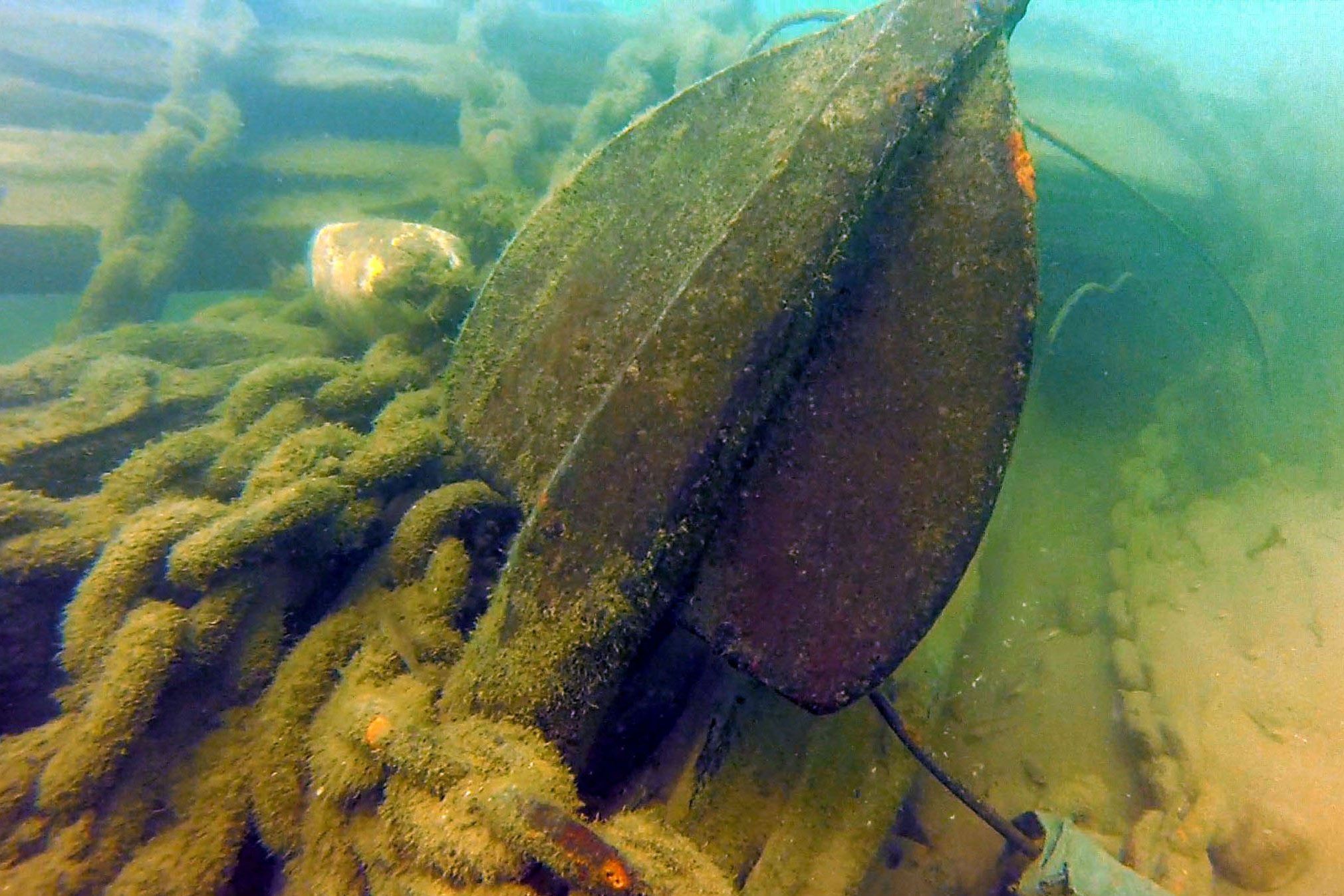
Menorca is one of three islands off the eastern coast of mainland Spain. The other two islands are Mallorca and Ibiza. The official languages spoken on Menorca are Spanish and Catalàn. The locals also speak English, however the clarity and quality varies. The Sanisera Archaeology Institute is currently excavating the Roman city of Sanisera located on one of the northern peninsulas, and the underwater archaeology course focused on Port Sanitja. The shipwreck sites dated between the 4th century B.C. and 4th century A.D., and recovery/projects have been conducted since the 1950s.
Each day we would start out by diving for about 40 minutes at 54 feet. After diving we would head back to the field school to have lecture, lunch, and do some identification of Amphoras or ceramic vessels used to transport wine, olive oil, salted fish, etc. on ships, drawing, photography for 3D modeling, and 3D modeling.

Ancient basilica
The first day the underwater group got to tour Port Sanitja, and see and hold some of the artifacts that had been discovered. Throughout the week we learned and applied the Sanisera methodology of underwater archeological survey such as linear and circular survey, documentation, and 3D modeling to name a few. One of the things I will never forget was trying to take photos of artifacts underwater. My dive buddy and I had to take pictures of two Amphoras. The Amphoras were in a hole, surrounded by sea grass, next to a rock wall, and a bunch of fish that would not go away. When taking photos underwater you have to keep the area clear around the artifacts, not stir up the sand, and watch your bouncy. It was not easy.
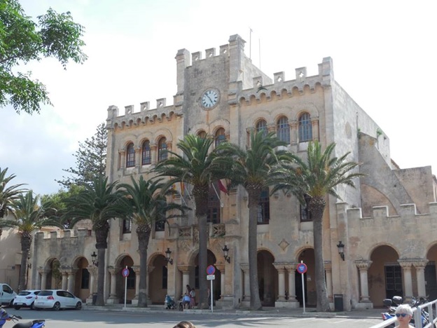
Downtown Ciutadella
Each day we finished around 2:15pm, and would drive back to the residency were we had “dinner” at 2:45pm, and had the rest of the day to explore or do whatever we wanted to. The Town in which we stayed in was Cituadella on the western coast of the island. Cituadella is the second largest town on the Island along with the town of Mahon on the eastern coast.

Cave Diving (photo by dive buddy Jenna Zwiller)
During my time on Menorca I also got to go cave diving, which was amazing. Everyone in the dive group went. We first took a 10-minute boat ride out to a bay surrounded by rock cliffs. Then we dove for about 5 minutes to reach the entrance of the cave, and then dove 150 meters to the end of the cave were we surfaced. Diving into the cave was an experience. It slowly becomes dark and cold and at a couple points everything becomes blurry because of the mix of warm and cold water. Once at the end of the cave we swam on the surface and got to look at the stalactites, which were beautiful. When returned near the entrance we dove back down and swam out. Diving/swimming out of the cave felt like something out of National Geographic. The rock wall surrounding the entrance silhouetted the beautiful blue water that had light shining through it. I almost did not go because I was having some ear trouble, but I am so glad I went. When diving you have to equalize your ears as you descend and ascend. However, as a child I had many ear infections, which has left behind scar tissue and has made my eardrums less flexible. Diving is already hard on the body especially when you dive several days in a row. I was also unable to dive the last couple of course days because of my ears. Overall my experience was amazing and I will never forget it!
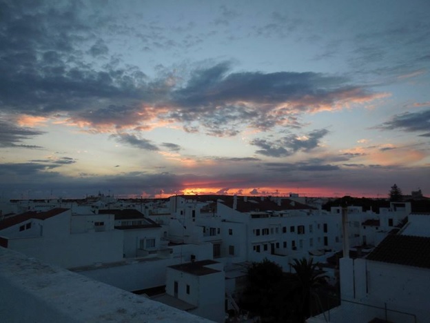
Sunset from the rooftop in Ciutadella