Written by Brendan Cole
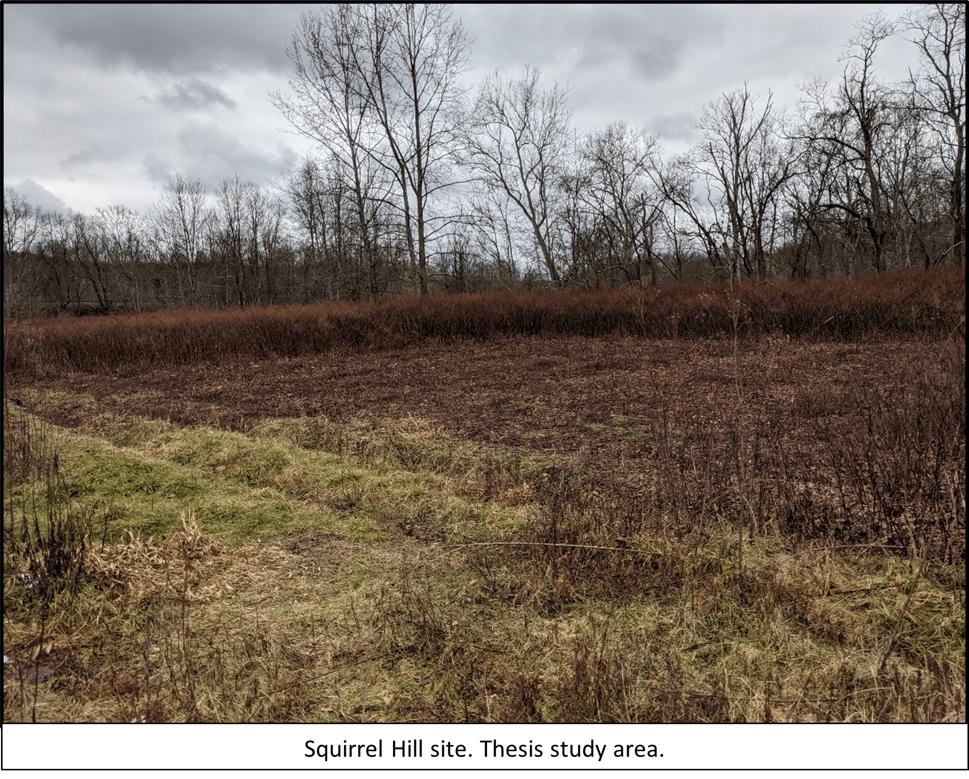 The Monongahela Cultural Tradition is recognized as dating to the Late Prehistoric period, approximately A.D. 1150 to 1635. Additionally, it is identified as being present in southwestern Pennsylvania, eastern Ohio, and northern West Virginia, where they lived in stockaded farming villages. The Monongahela culture was present during initial European contact, but there is currently no evidence that they were directly contacted by Europeans and were gone by the time settlers had reached Western Pennsylvania. The site used in this study is a Monongahela village site known as Squirrel Hill. It is a village site located in Westmoreland County. While the site was discovered in the mid-20th and there have been subsequent thesis studies and field schools conducted, there is still much unknown about the site.

Soil pellet creator
The focus of this thesis is to explore the efficacy of non-invasive archaeological techniques to extract archaeological data. It is important to explore non-invasive/destructive methodologies because traditional archaeological excavation techniques are destructive in nature. Essentially whatever we dig up is removed from its original context, thus destroying that portion of the site. Preservation ethic, in short, tells us that if we do not need to excavate a site we should not. This not only preserves a non-renewable resource but saves them for the future when new excavation techniques, technologies, and research questions are developed.
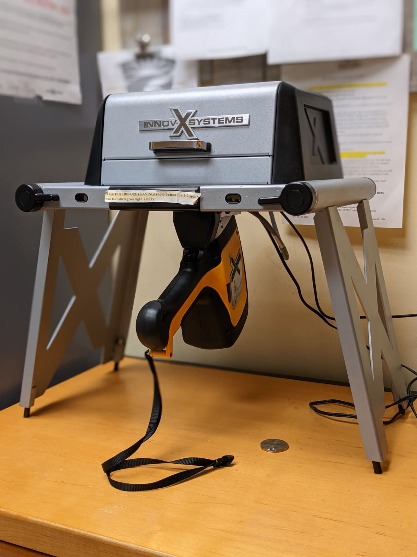
Portable XRF device in workbench setup
Currently, there are technologies available to us that allow for data extraction without site disturbance or destruction. Two of those techniques, and the ones used in this thesis study, are ground-penetrating radar (GPR) and x-ray fluorescence (XRF). Separately these techniques have been proven to have great utility, but they have scarcely been used together.
This study aims to use both techniques in tandem at the Squirrel hill site. The GPR data will be overlain with elemental density maps constructed from the XRF. The primary goal of this will be to see where GPR anomalies and XRF elemental data overlap and where it does not. This will show areas of cultural activity and suggest what activities were occurring in those places. By doing this we will also gain an idea of village layout. All this information will not only help guide future research questions and excavation at the site, but it may also show the efficacy of using these methods together at other sites.
Follow IUP Anthropology on Facebook, Twitter, and Instagram