By: Hannah Harvey

Dave Breitkreutz hard at work mapping a report
This fall, IUP’s archaeology program is being well represented at the Pennsylvania State Historic Preservation Office (SHPO). David Breitkreutz and myself, both “third-year” grad students, are currently working as independent contractors helping to process a backlog of archaeological survey reports into PA’s Cultural Resources Geographic Information System (CRGIS). This work is part of a larger project to design and implement a new SHPO-wide data management system, which is serving as mitigation for the destruction of an archaeological site.

At the start of the project, a wall of backlogged reports!
The day-to-day work is fairly straightforward: grab a report, enter report data into the CRGIS database, map the survey area in GeoMedia (which links to the report record in the CRGIS web interface), put the report in a folder, slap on a label, file it in the record room… and repeat! Sounds pretty simple, and for many reports it is that easy. However, we’ve been learning that each survey and each report is unique due to the nature of the undertaking, the terrain, the consultants’ reporting styles, and whether or not sites were recorded. Naturally, a few of these reports are problem children and very difficult to process, especially when the report is older than I am and the volume with all the project maps has vanished. Needless to say, the variety keeps things interesting!
Even when the work feels a little repetitive, it is an important part of the SHPO’s task of managing compliance-driven archaeological survey across the state. For every project, after the field and lab work has been completed, the report ends up at the SHPO where a trusty team of archaeological reviewers read the reports to assess the presence of sites, whether or not they’ll be impacted by the undertaking, and in some cases to evaluate their eligibility for the National Register of Historic Places. These folks are responsible for ensuring that significant archaeological sites are given appropriate consideration (whether avoidance or mitigation) as projects move forward. After a report has been accepted by the SHPO, it needs to be recorded and mapped within CRGIS so that we can keep a record of the locations and results of these surveys. That’s where Dave and I come in! As we process reports, they become searchable within CRGIS and available to consultants and researchers. Without this processing, the locations and findings of these surveys are effectively “hidden” from consultants and SHPO staff alike.
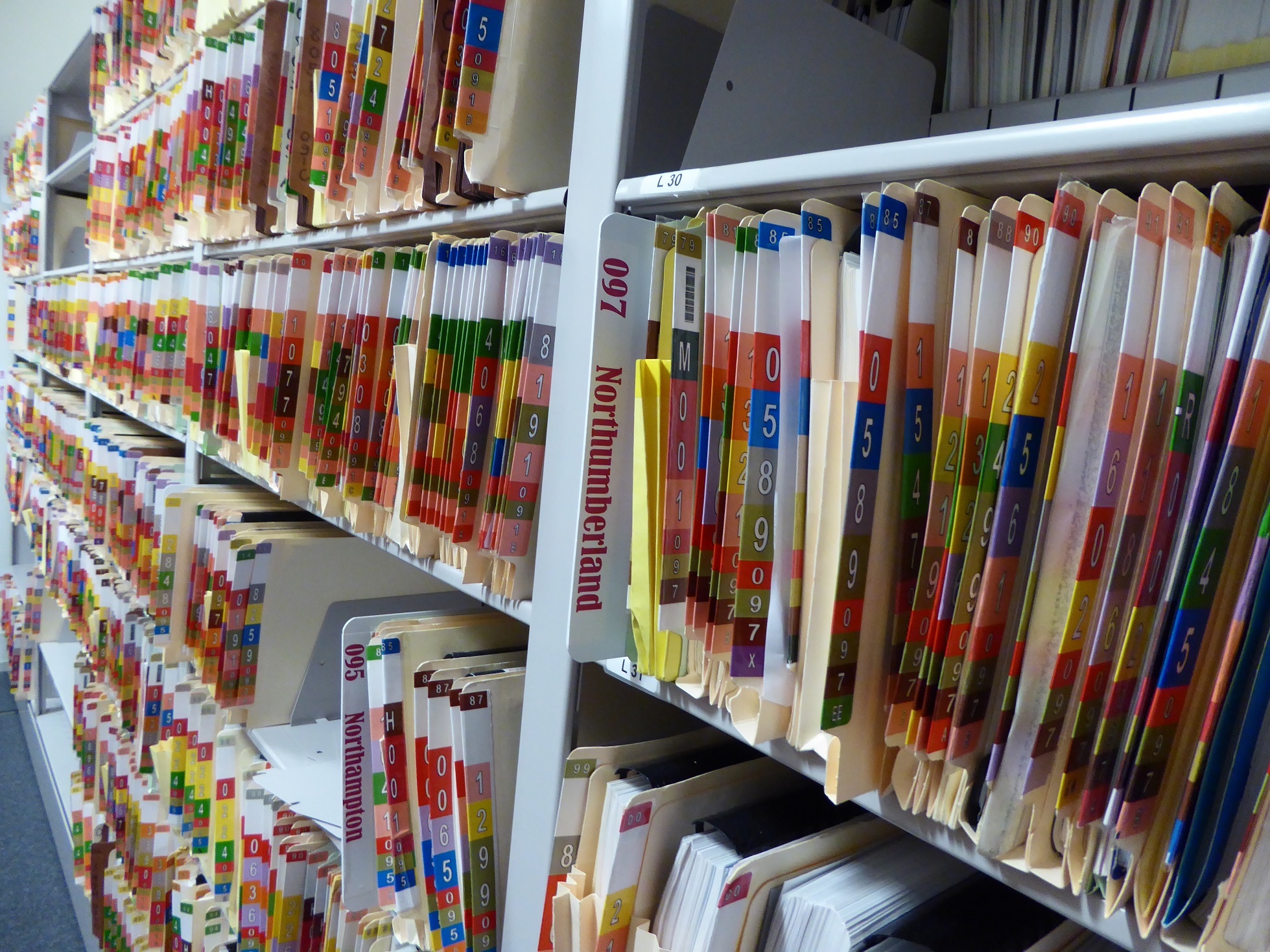
As the reports are processed, they get filed in the SHPO record room.
Many aspects of this job are extremely educational and dovetail nicely with the things we learned in our graduate classes. For me personally, it’s been a fun challenge to work with an unfamiliar GIS application (even if I’m still partial to ArcMap). Plus, reading through all these reports is like a whirlwind course in some really cool PA archaeology! But looking at the bigger picture, it’s been helpful to learn what happens to reports and how they are reviewed. Seeing the tail end of the process helps me to better appreciate the importance of careful work in the field, the lab, and in creating clear and understandable reports. After all, once a site has been excavated, it has been destroyed, but that information will continue to exist within these reports and maps.